City of Curepipe – Mauritius
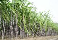
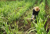
Curepipe, a town located halfway between the capital, Port-Louis and Mahebourg, with its cool, humid climate and forests, was for a long time inhabited. The first inhabitants settled in the lower part of the district of Plaines Wilhems which owes its name to Wilhelm Leichnig, a German who lived on the island (between the French and English occupation). The lower part of Curepipe was gradually cleared to accommodate sugar cane fields. People travelling from north to south used to stop at Curepipe to quench their thirst and rest. The men took this opportunity to clean their pipes. This is how the name of Curepipe was chosen for this place which, however, remained very isolated and not very welcoming.
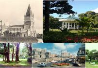
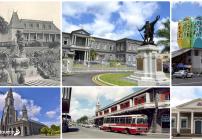
At the beginning of the 19th century, the new British administration decided to build a road connecting Port-Louis to Mahebourg, which would change the fate of Curepipe. Completed in 1825, the place became the unavoidable road for the horse-drawn carriages. A few dwellings on the heights and a Relais Inn were built there, but Curepipe remained a stop for carriages until the opening of a railway station in 1865. When malaria epidemic decimated part of the population in 1867, many families living in Port Louis chose to take refuge in the highlands. Curepipe finally became a city in 1890, the first one to be connected to electricity and this is the reason why it is called the City of lights.
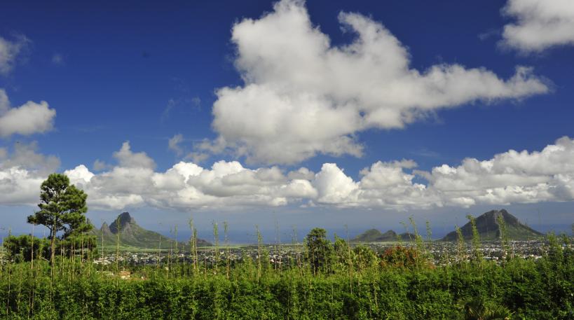
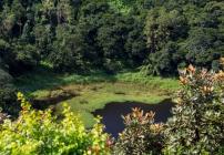
Today, Curepipe is especially popular for its famous Trou aux Cerfs, a dormant volcano, from the top of which one can enjoy a breathtaking view over part of North-West of the island. Astonishing fact: this crater was once home to a botanist and horticulturalist named Hector Lavignac. This plant enthusiast introduced species of sugar cane from New Caledonia. He even developed vines on the slopes of Trou aux Cerfs.
Come and cool off on the heights of the City of Lights!
NadElle

